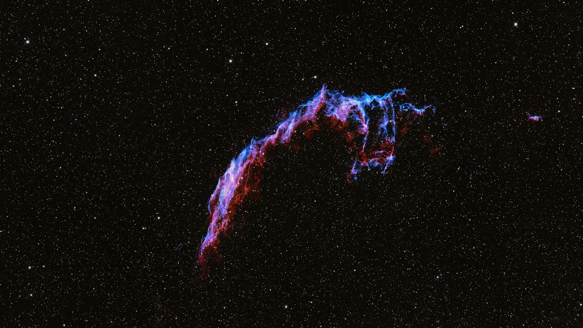
Sample · Mojave Desert
Veil NebulaRASA 8 · ASI294MC Pro · Advanced VX3.6h total120s × 108IDAS NBZ-II✓ Complete
Read the sky at your observing site. Weather, darkness, and Moon conditions inform your targets and observing windows.
Changes in this local build are saved in this browser. The hosted beta supports invited accounts, cloud sync, private session photos, and submitted feedback. Use the Cloud and Device indicators in the hosted app to check whether your work has saved.
Set the location and observing night that every signal, map, and recommendation below should use.
Use this only when your local instruments or a specialist forecast disagree. Changes immediately update Tonight’s read and the run plan.
Attilla Danko's astronomy forecast for the nearest site — a specialist chart experienced observers use to confirm or refine CLEARHOUR's automatic transparency and seeing estimates (shown against the night timeline above) when they want a second opinion.
Chart by A. Danko, cleardarksky.com. Columns run left to right in hours; darker blue is better.
Your selected gear powers field-of-view previews, filter recommendations, power planning, compatibility checks, manuals, tutorial matching, and gear-aware steps throughout CLEARHOUR.
Each component stands on its own. Approved product images can appear automatically; otherwise CLEARHOUR uses matching modular equipment artwork without inventing accessories or depicting a fictional assembled rig.
Clearhour distinguishes verified requirements, deterministic calculations, planning heuristics, and unevaluated combinations. “No rule loaded” never means “guaranteed compatible.”
Obstruction-aware recommendations, ranked by framing, coverage, and usable dark time after CLEARHOUR checks every sampled path against the active site's saved buildings, trees, poles, and horizon mask. Click a target to browse. Use + or − to add or remove it from your plan.
Tap a target to preview it, then add it to your plan.
Show Clearhour what blocks your view. The saved horizon immediately changes target rankings, usable hours, and blocked path segments.
Minimum imaging altitude is an adjustable planning preference, initially 20°, not a measured obstruction or a universal cutoff. Draw buildings, trees and other obstructions separately; the stricter limit applies.
Draw a blocked area, then drag its corner handles to adjust it. Save when ready.
Enter both height and distance to calculate the top altitude automatically — otherwise set it directly.
Clockwise from azimuth 1 to azimuth 2, crossing 0° when needed.
Stored with the active starred site. Azimuth is measured clockwise from north; altitude is the highest blocked angle.
Drag around the compass to select blocked directions. Moving toward the center means the obstruction reaches higher in the sky.
288 Wh nominal, ~85% usable after inverter and cable losses.
RASA-specific items are flagged. The red-bordered ones are the ones that cost you a whole night.
Describe the night once, validate the critical fields, then review what the receiving capture system can accept before transferring the plan.
Target coordinates, time windows, filters, exposures, framing, mosaic pointings, focus/changeover events, and safety context are preserved in a machine-readable file.
Clear-window plans refresh the forecast before Download or Copy. Review the updated schedule before using it.
Enter when you last shot each set. Dates are reminders; matching requires checking the actual files.
Capture flats before changing the optical configuration; confirm coverage for every configuration used.
Match calibration frames to the capture settings actually used.
Everything above, condensed. Copy it into your notes or the ASIAir plan.
Pre-filled from tonight's plan — adjust to what you actually got, per filter and, for a mosaic, per panel. Feeds future planner suggestions: continue for more data, finish an under-shot panel, or switch filter.
Seeing, transparency, what went wrong, what to change. Gets appended to the card above.
Log tonight's run — actual capture counts, polar alignment and notes are saved as a Portfolio session you can add the processed image to later. This finishes tonight, not necessarily the target: if it needs more integration time, Clearhour tracks progress across nights automatically.
One workflow, tailored to the software you actually use. Pick your tools once below — every step follows without asking again.
Select everything you use — click a row to add it, click again to remove it. Selected software shows in the chip row above the list.
Every step has one thing to do next. Open the (i) on any step for the technical detail, common pitfalls, and to check it off for tonight.
Video titles, creators and links checked September 12, 2026. Tutorials may show older software. Link verification does not mean a full technical review or creator endorsement.
Your images and the nights behind them. Search your sessions, revisit the capture details, or continue a project. Explore your observing geography and upcoming nights below.
Select a session below to view its full image above. Use + and − to zoom, and drag to pan.
Drag Earth to rotate it, scroll to zoom, and click a pin to see sessions and images from that site. Use Find in session log to jump directly to the night that produced an image.
Flat map view of the same observing history. Click a pin to focus the Portfolio on that site.
Photography by Christopher Walker with a Celestron RASA 8, ZWO ASI294MC Pro, and Celestron Advanced VX. These demonstration session records are fictional but complete, use plausible acquisition settings, and keep location at a privacy-safe regional level.
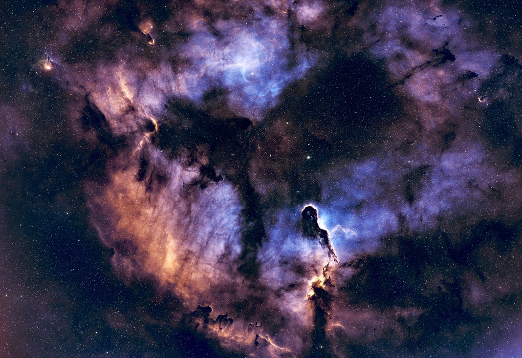
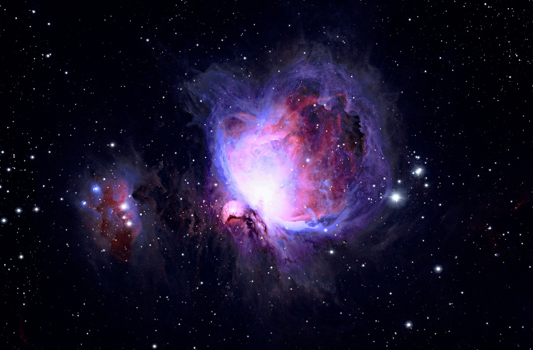
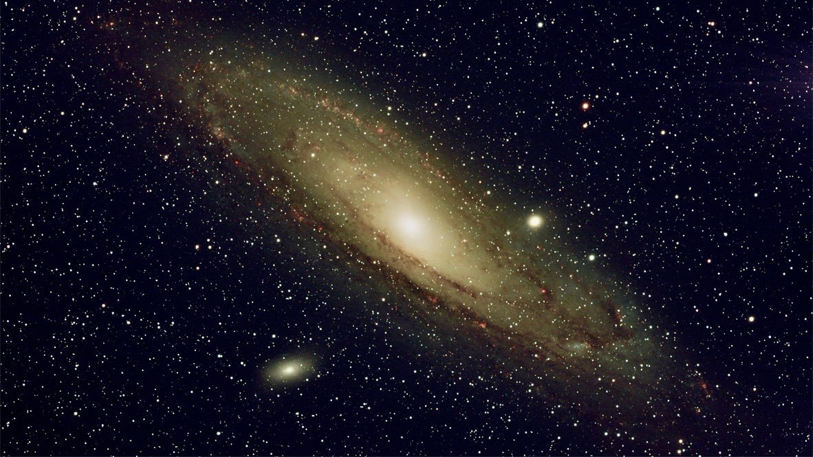
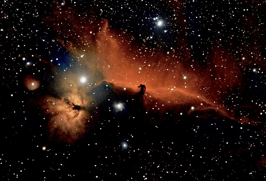
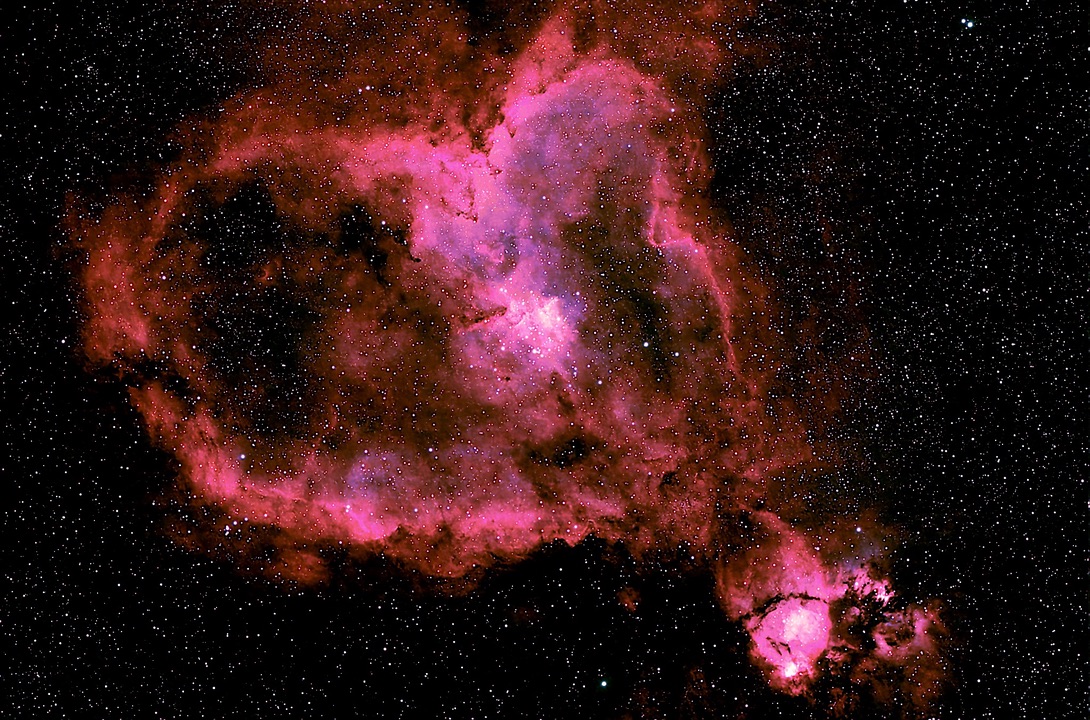
Drag to rotate · scroll to zoom. No public observing locations have been shared yet.
Every tab change and object switch tonight, logged locally — a page or object you kept bouncing back to is usually a sign the info belongs somewhere more prominent.
CLEARHOUR is cloud-connected when you sign in. The following information syncs to your account automatically:
Signing in enables automatic cloud sync for plans, session-library records and uploaded photos, calendar entries, account preferences, and imaging-site details saved with your work. Privacy Notice